Unveiling key insights from a dynamic webinar on property intelligence and natural hazard management. This blog explores crucial takeaways on hazard data analytics, risk mitigation strategies, and the evolving catastrophe modelling market. Also, it underscores the power of collaborating with data providers who can adapt and evolve with changing needs, thereby enhancing decision-making capabilities.
The landscape of property intelligence is shifting, with an increasing focus on understanding and managing natural hazards.
This evolving area was the spotlight of an engaging webinar hosted by InsTech, launching their annual report titled ‘Property Intelligence – Understanding and Managing Natural Hazards’. The live discussion involved insightful exchanges from distinguished panelists, including Richard Garry, CCO of Gamma Location Intelligence (Gamma LI). Alongside Richard were Deepak Badoni, Co-founder & President at EigenRisk, and Judith Ellison, Business Development Manager from JBA Risk Management. Each gave their thoughts, experience and perspective on the emerging trends in hazard data analytics, the burgeoning importance of risk mitigation for both residential and commercial properties, and the evolution of the catastrophe modelling and hazard data market since the release of the first location intelligence report in 2021. The conversation offered participants valuable takeaways, which we’ll explore in this blog post.

The release of the annual InsTech report, ‘Property Intelligence – understanding and managing natural hazards’, was accompanied by a panel webinar session discussing topics such as:
- The different ways hazard data and analytics are being accessed
- The data and technology that can be utilized to manage and mitigate risks to properties
- Recent evolutionary trends in the catastrophe modelling and hazard data market
You can watch this Webinar On-Demand
During the 40-minute exchange of experiences, approaches, ideas, and thoughts, the following key takeaways stood out:
Geo-coding remains a challenge for most:
This is a basic level requirement in the onward use and manipulation of all geo(spatial) data that organisations rely upon throughout their decision-making workflows. It also happens to be an area of particular expertise from a Gamma LI perspective, but like building a property – getting the foundation right is essential.
Integrating decision-enabling data within the workflow is a necessity:
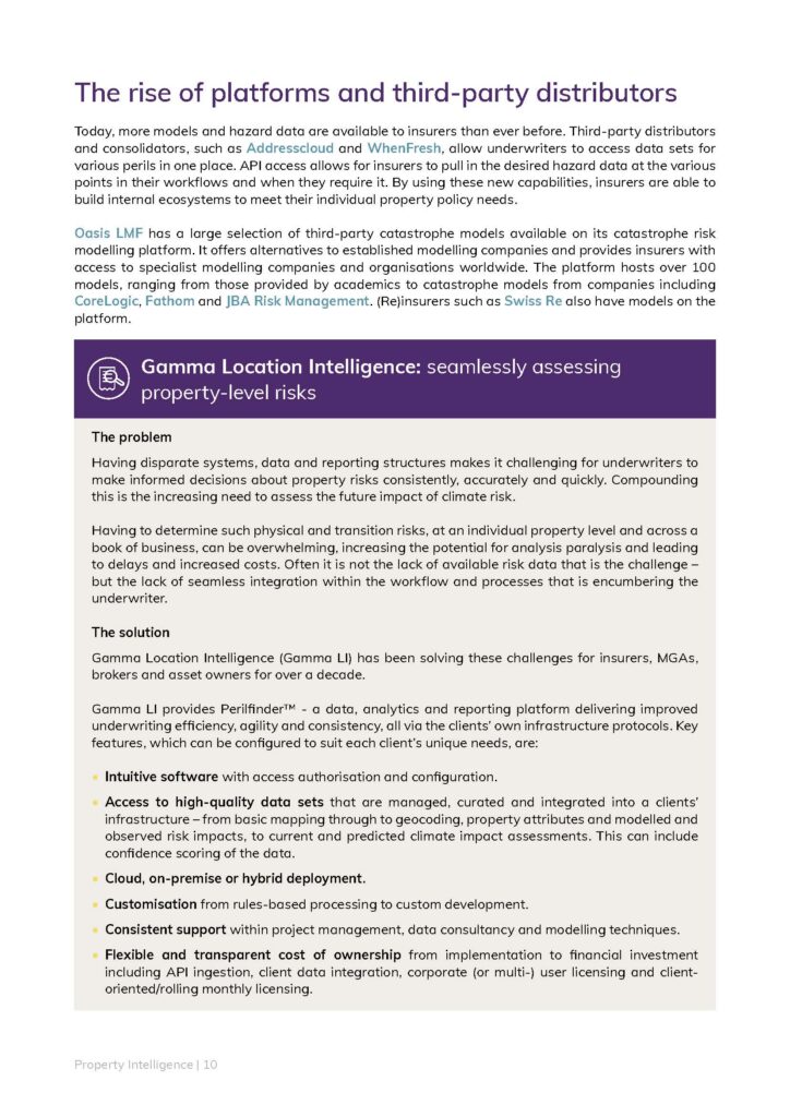
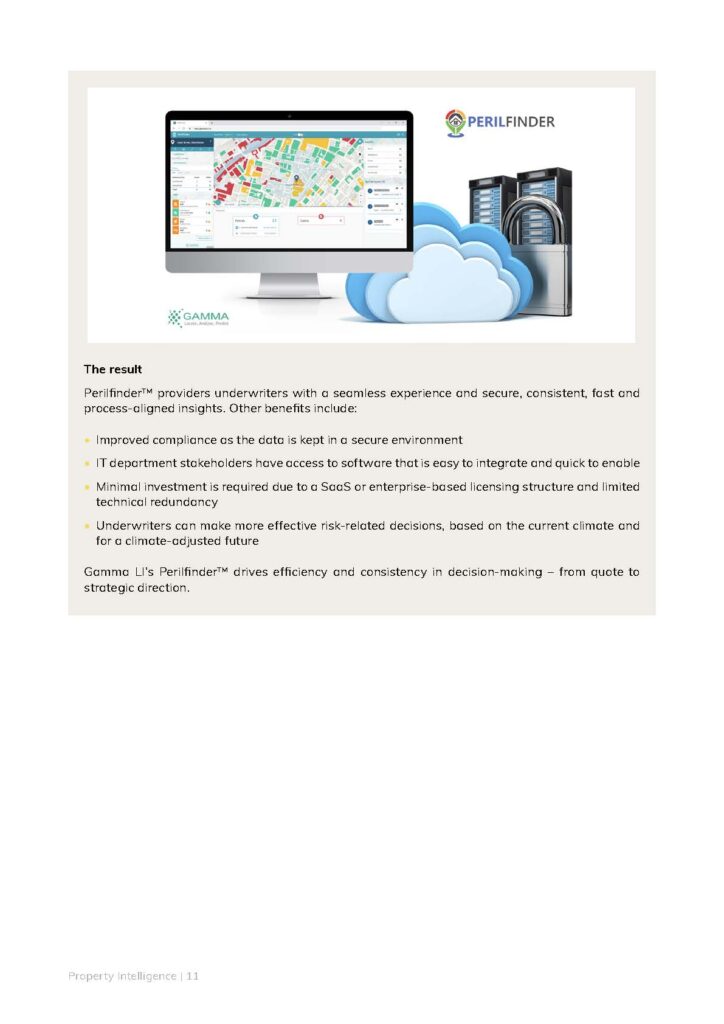
Being able to provide integrated views of hazards is a key ask within the market – this is something that is seen as a seamless capability with the Gamma LI data visualisation, analytics and reporting platform, Perfilfinder.
Data value versus cost:
Speed of access to data is always crucial, but the balance between cost, quality and speed – that sounds familiar – is a key determinant when it comes to the value it delivers and the appetite to invest.
More transparency as a means of improving data confidence:
The variety of data that there is on offer – and knowing which way to turn to avoid being distracted by noise – is often leading to analysis paralysis. With the end-user potentially reluctant to make decisions… or worse, making inconsistency and inappropriately informed decisions.
Climate models applying an additional layer of complexity:
Compounding these points is the growing provision of climate-related data solutions aimed at enabling a long-term view of decision-making and the potential change in risk profile.


It is little wonder, therefore, that the market – one where being risk averse is a natural state – remains in a constant holding pattern of “wait and see”.
But it doesn’t need to be this way.
The key is to collaborate with a provider – or providers – that enable you to retain flexibility, that is committed to evolving their solutions as things change, and to limit the lock-in on what may be perceived as fit-for-purpose today but lacks capability tomorrow.
This is in the DNA of what we do.
If you want to control your data and how it works for you to make better informed decisions, then get in touch.
We’d love to start a conversation with you.
@ 2023 Gammali.co.uk by Jason Day
About Gamma Location Intelligence
Gamma Location Intelligence (Gamma LI) is a cloud hosted spatial solutions provider that integrates software, data and services to help our clients reduce risk through location intelligence. Established in Dublin, Ireland in 1993, and with offices in Manchester, UK and Bilbao, Spain, the company has expanded to become a global provider of innovative, cloud-hosted location intelligence solutions. Gamma Location Intelligence’s Perilfinder™ risk mapping platform provides property underwriters with access to trusted property-level risk data easily, quickly and accurately.

