")
Now part of

Wednesday 15th November, which was World GIS Day, saw the rescheduled GIS Ireland conference take place following its postponement in October due to Hurricane Ophelia. The irony of an event themed on Climate Change being postponed due to Climate Change was not lost on the conference organising committee who had to make the difficult but correct decision to call the event off last month.
We had a very good day at the conference, and these are 5 of our Key Takeaways from the day.
1. GIS Ireland continues to be the premier annual conference
Despite the rescheduling of the conference it was very well attended, and we were extremely busy at the Gamma stand. We were showcasing Spectrum Spatial Analyst, which is Pitney Bowes Web GIS application, alongside MapInfo 16 which it integrates with seamlessly. If you would like more information on these products, be sure to contact us.
Our colleagues at Autoaddress were also in attendance and were talking to customers, old and new, about Eircode and how the Autoaddress solution reduces overheads and increases accuracy.
2. Food for thought from the Plenary Session
I also gave a keynote presentation on Flood Mapping in Ireland, which looked at the extensive range of data which is now available, from local to international, along with some of the technical solutions for working with this data, including Perilfinder™ and the integrated MapInfo / Spectrum Spatial Analyst solution.
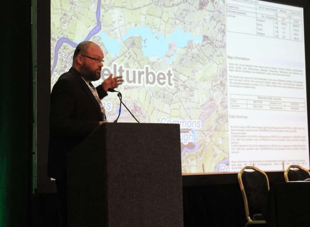
Richard Cantwell (Gamma) presenting A Deluge of Data – Flood Mapping in Ireland
The other keynote presentations focused on setting the scene around climate change and how this is impacting local authorities and the agricultural sector. It was interesting to note how embedded GIS was in the Local Authority response to Hurricane Ophelia, including the role that MapAlerter had to play. I did discuss the increasing precision and timeliness of data delivery in my talk, and this was also raised in the talk on the agricultural sector, which is, of course, a very large contributor to Irish Greenhouse Gas emissions.
3. GIS has a key role to play in addressing Climate Change
The morning wrapped up with a panel discussion chaired by Bruce McCormack. This was a wide-ranging discussion that frequently touched on the roles that we as GI professionals can play in addressing Climate Change.
We can help by bringing our skills to bear on disparate datasets, synthesising them to generate insight. We can make data available openly so that others can benefit. We can assist with decision making by making sure the right data is in front of the right people at the right time.
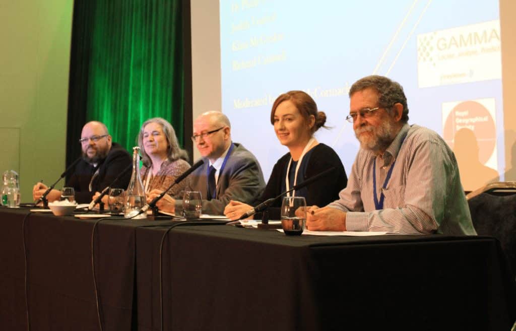
Richard Cantwell (Gamma), Judith Vonhof (Cork Co. Co.), Dr Philip O’Brien (EPA), Klara McGriskin (Dept Agriculture) and Bruce McCormack (Irlogi)
4. A varied afternoon
The GIS Ireland conference is a showcase for interesting projects and initiatives and this continued in 2017. There were a lot of interesting talks in the parallel sessions in the afternoon. At Gamma, we are particularly interested in the new Workplace Zones which the CSO introduced at the conference and will make available in December. I also learned a lot from talks on GDPR, Serverless GIS, Continuing Professional Development for GIS, Visual Statistics and Road Accident risk, which is something we have written about before.
5. There’s always room for Beer
The day wrapped up with a now traditional GeoBeer gathering in the hotel bar which went on long into the evening. This is often where the real business of conferences such as this, the establishing and reconfirming of social connections, is done, and long may that continue.
I’m already looking forward to next year.
@ 2017 Gamma.ie by Richard Cantwell
About Gamma
Gamma is a Location Intelligence (LI) solutions provider; we integrate software, data and services to help our clients reduce risk through better decision-making. Gamma was established in 1993 and was the first company to develop LI for the private sector in Ireland. The company has expanded to become a global provider of cloud-hosted LI systems, micro-marketing solutions and related services.